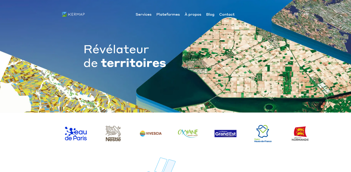
What is Kermap?
Kermap is a dynamic project that has steadily proved its worth in just six years of existence. Combining the power of satellite imagery with innovative artificial intelligence models, Kermap offers tailored solutions for sustainable agriculture, environmental protection, and urban planning. The project operates with diverse services: from satellite–and aerial–image analysis that monitors crop rotations on every parcel, to providing vital earth observation data that supports local administrations in their ecological transition. With a suite of platforms like Nimbo (“When the Earth goes back in time”), Our Green Cities (“Enhancing trees in urban areas”), and Klover (“Urban vegetation and climate around the world”), Kermap has continuously delivered reliable, actionable insights. This approach not only bolsters the farming industry but also gives local governments the tools needed to meet contemporary challenges in urban development and ecological management… all while keeping data user-friendly and highly accessible.
Main Benefits and Key Figures
Kermap’s integrated approach provides multiple benefits. The project stands out thanks to its dedication to precision and comprehensiveness. A quick look at some notable achievements and figures reveals its effectiveness:
- Satellite imagery processes data parcel by parcel, ensuring sustainable agriculture at any territorial scale.
- Identification of crops by satellite – an unprecedented insight into crop rotations across Europe through continuous analysis.
- Monitoring of major crops: featuring 30 classes in France (covering winter and summer varieties) and 22 classes in other European regions.
- Robust environmental protection through indicators designed for biodiversity monitoring and agroecological infrastructure management (including inventory and monitoring of hedgerows).
- Enhanced urban planning capabilities with services that support the monitoring of artificialization and vegetation dynamics in cities.
These elements underscore the project’s concrete value and practical benefits for a wide range of stakeholders.
Expertise in Earth Observation Data
At its core, Kermap is the embodiment of technological innovation applied to natural science. Expertise in “Information Production” means that satellite and aerial images are processed using cutting-edge artificial intelligence models. The data is not only gathered but also meticulously analyzed through “Spatial Analysis”, which involves interpreting complex satellite data to model both natural and human dynamics. This is where “Data Visualization” comes into play, using cartographic and statistical platforms that translate raw geographic data into an intuitive, user-friendly format. Each step of the process ensures reliable, timely information that can be easily used for decision-making. There’s an ease and simplicity in presenting this robust geographic information – making it clear for anyone who needs to understand the changing face of our planet.
Agriculture and Crop Monitoring
In the realm of sustainable agriculture, Kermap truly shines. Its approach has redefined how crops are monitored through the lens of satellite technology. Imagine identifying every crop rotation across countless parcels across Europe… this isn’t science fiction but a reality powered by Kermap’s intelligent image analysis. Comprehensive monitoring of major crops provides detailed insights; for example, 30 different classes of crops are tracked in France – spanning seasonal variations like winter and summer – while 22 classes cover other European regions. Additionally, yield estimates for major crops become available at the end of the season, giving stakeholders the critical data needed to plan effectively for future seasons. This technological leap means that agriculture is not only better monitored but can also adapt more swiftly to both predictable and unexpected challenges.
Environmental Protection and Urban Planning Solutions
Kermap extends its expertise into environmental protection and urbanism, addressing both biodiversity and urban dynamics. The project provides key indicators for monitoring agroecological infrastructures – allowing for accurate inventories and analyses of hedgerows, whether it’s their destruction or planting. Such detailed insights facilitate informed decisions and improvements in environmental management. Alongside, urban planning benefits from Kermap’s robust suite of data tools. Through satellite and aerial imagery, urban planners can closely monitor the dynamics of artificialization – the spread of man-made structures – while staying informed about urban vegetation trends. This dual approach keeps the pulse on both structured development and green conservation, ensuring that cities remain sustainable and adaptable as they evolve.
Project Impact and SDGs
- SDG 2: Zero Hunger – through precise crop monitoring and yield estimation.
- SDG 11: Sustainable Cities – by supporting urban planning with reliable data.
- SDG 13: Climate Action – leveraging earth observation data to track ecological changes.
- SDG 15: Life on Land – by maintaining biodiversity and monitoring natural infrastructures.
Innovative Solutions for an Ecological Transition
Kermap’s innovative approach simplifies access to geographical information and its visualization, creating a platform where data is not just collected but made profoundly usable. Whether it’s through APIs, dynamic dashboards, or detailed deliverables, the solutions are designed to be accessible, harnessing the power of satellite technology to drive meaningful change. By translating the chaos of raw data into clear, actionable insights, Kermap fuels smarter decision-making for both local administrations and the farming industry. Its tailored indicators are a testament to the project’s commitment to supporting a broad range of ecological transitions – making the future of urban development, agriculture, and environmental conservation not only more reliable but truly sustainable. In this way, Kermap stands as an essential partner for anyone passionate about nurturing the Earth while driving progress in urban and rural landscapes.