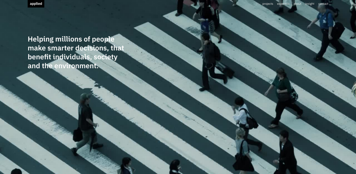
What the Project Is About
This project is a standout example in the Spec design (non-building) industry, focusing on wayfinding, graphic communication, and signage systems that enhance spatial and urban experiences. It’s all about creating seamless information systems and strategies that improve user experience (UX/UI) through thoughtful design, research, and analysis. From digital tools to physical signage, the project covers a broad spectrum—helping people navigate complex environments like museums, universities, airports, and entire cities with ease and confidence.
Main Benefits of the Project
Here’s a quick snapshot of what makes this project tick:
- BCorp score of 114, reflecting strong social and environmental performance
- Improved pedestrian journeys in major cities like Seattle, Seoul, and Rio
- Enhanced visitor experiences at cultural landmarks such as The Met and The National Gallery
- Integrated transport identity systems for places like Translink Vancouver and Metrolinx Ontario
- Digital wayfinding tools that boost campus navigation at Princeton and Imperial College London
- Inclusive design approaches, evident in projects like Central Park Access Map and Leer Madrid
- Retail navigation strategies that drive financial returns, as seen in Bluewater Shopping Centre
Wayfinding as a Core Design Strategy
Wayfinding isn’t just about signs on walls—it’s a comprehensive communication system that guides people through space, making complex environments feel intuitive and welcoming. This project leverages graphic design and spatial planning to craft information systems that speak directly to users, reducing stress and enhancing their overall experience. Whether it’s a bustling airport like Heathrow or a sprawling urban park like Queen Elizabeth Olympic Park, the design strategy ensures every step feels natural.
Digital and Physical Integration
One of the coolest things about this project is how it blends digital tools with physical signage to create a cohesive user experience. Digital wayfinding platforms, like those developed for Princeton Digital and Walk Brighton, complement traditional signage, offering real-time updates and interactive maps. This hybrid approach not only improves navigation but also supports urban planning efforts by providing data-driven insights into how people move through spaces.
Focus on User Experience and Research
At the heart of the project lies a deep commitment to user experience (UX/UI) and research. Every design decision is backed by thorough analysis, ensuring that the systems are not only functional but also accessible and inclusive. Projects like the COVID-19 Design Toolkit demonstrate how research-driven design can respond to urgent social needs, creating environments that are safe and easy to navigate even under challenging circumstances.
Project Impact on Sustainable Development Goals (SDGs)
- SDG 3: Good Health and Well-being – by reducing stress and promoting active travel like walking and cycling
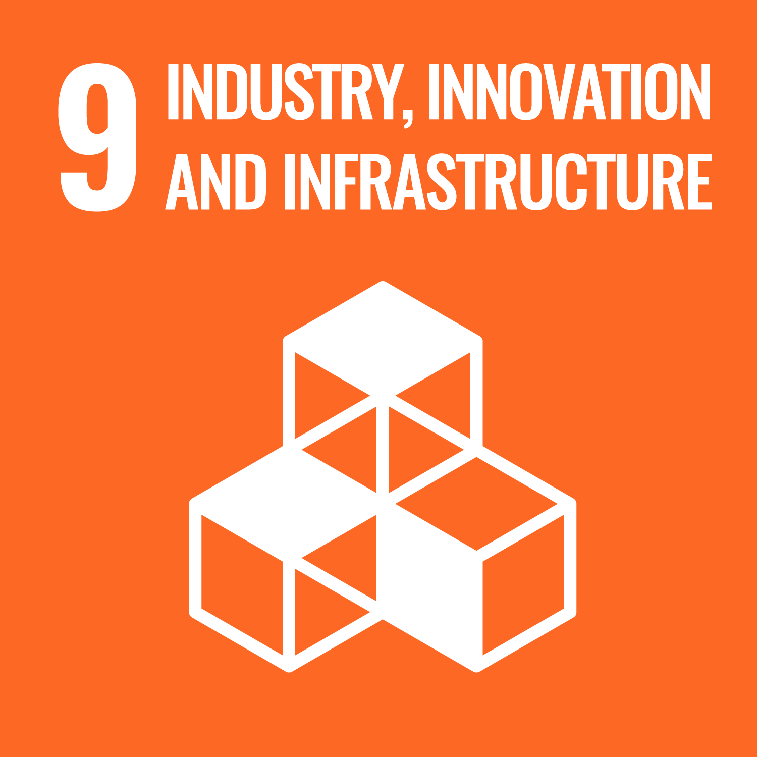
- SDG 9: Industry, Innovation, and Infrastructure – through innovative wayfinding and digital communication systems
- SDG 11: Sustainable Cities and Communities – by enhancing urban navigation and accessibility
- SDG 12: Responsible Consumption and Production – via efficient design strategies that optimize resources
- SDG 17: Partnerships for the Goals – collaborating with diverse stakeholders across cities and institutions
Why This Matters in Today’s Urban Landscape
In a world that’s more connected yet more complex than ever, wayfinding and communication design play a crucial role in shaping how people experience their environments. This project shows that thoughtful design isn’t just about aesthetics—it’s about creating systems that empower users, foster inclusivity, and support sustainable urban growth. From local neighborhoods to global cities, these strategies help make places more navigable, enjoyable, and ultimately, more human.