Skip to content
SDGs
Expand
SDG 1: No Poverty
SDG 2: Zero Hunger
SDG 3: Good Health and Well-being
SDG 4: Quality Education
SDG 5: Gender Equality
SDG 6: Clean Water and Sanitation
SDG 7: Affordable and Clean Energy
SDG 8: Decent Work and Economic Growth
SDG 9: Industry, Innovation, and Infrastructure
SDG 10: Reduced Inequalities
SDG 11: Sustainable Cities and Communities
SDG 12: Responsible Consumption and Production
SDG 13: Climate Action
SDG 14: Life Below Water
SDG 15: Life on Land
SDG 16: Peace, Justice, and Strong Institutions
SDG 17: Partnerships for the Goals
Categories
Expand
Sustainable Farming
Health & Well-being
Mobility & Transport
Construction & Infrastructure
Agriculture & Food
Waste & Recycling
Fashion
Energy
Communities
Finance
Technology
Services & Consultancy
Countries
Search
Facebook
Twitter
Instagram
Toggle Menu
satellite imagery
MEOSS: Harnessing Satellite Data for Sustainable Water Management
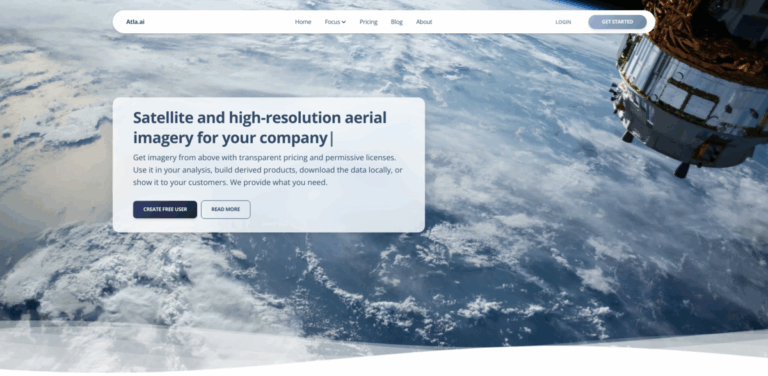
Atla.ai: Your Gateway to Satellite and Aerial Imagery
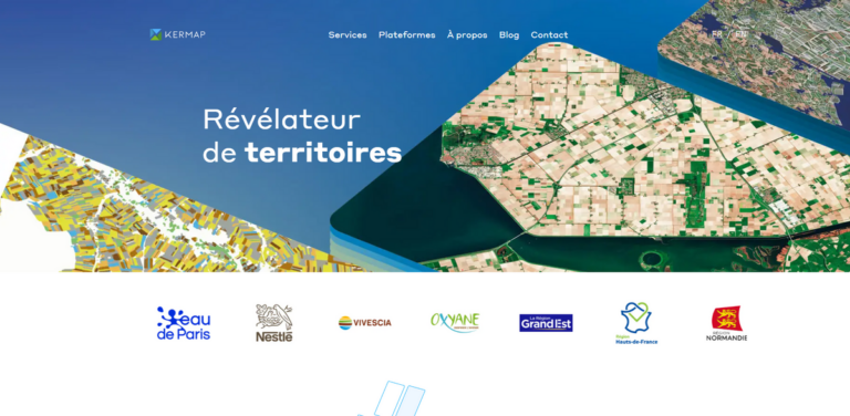
Kermap: Transforming Agriculture and Urban Planning with Satellite Imagery
Scroll to top
Scroll to top
SDGs
Expand child menu
Expand
SDG 1: No Poverty
SDG 2: Zero Hunger
SDG 3: Good Health and Well-being
SDG 4: Quality Education
SDG 5: Gender Equality
SDG 6: Clean Water and Sanitation
SDG 7: Affordable and Clean Energy
SDG 8: Decent Work and Economic Growth
SDG 9: Industry, Innovation, and Infrastructure
SDG 10: Reduced Inequalities
SDG 11: Sustainable Cities and Communities
SDG 12: Responsible Consumption and Production
SDG 13: Climate Action
SDG 14: Life Below Water
SDG 15: Life on Land
SDG 16: Peace, Justice, and Strong Institutions
SDG 17: Partnerships for the Goals
Categories
Expand child menu
Expand
Sustainable Farming
Health & Well-being
Mobility & Transport
Construction & Infrastructure
Agriculture & Food
Waste & Recycling
Fashion
Energy
Communities
Finance
Technology
Services & Consultancy
Countries
Toggle Menu Close
Search for:
Search