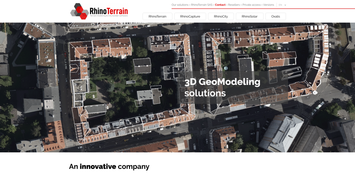
What is RhinoTerrain SAS and Its 3D Geo-Modeling Solutions?
Founded back in 2008 by specialists in geomatics and 3D imaging, RhinoTerrain SAS quickly made a name for itself by winning the national iLAB competition, which supports innovative technology startups. This company develops a diverse range of 3D Geo-Modeling software tailored to meet the needs of various fields like GIS, 3D urban data production, Civil Engineering, Photogrammetry, and even Solar Calculations. All of their solutions are built on the powerful Rhinoceros® software platform, making them robust and versatile tools for professionals across industries.
Main Benefits of RhinoTerrain’s Software Suite
RhinoTerrain’s software offers a bunch of impressive features and benefits, including:
- National recognition as a winner of the iLAB competition in 2008, highlighting its innovative edge.
- Specialized tools that cater to a wide range of applications — from urban planning to solar energy studies.
- Integration with Rhinoceros® software, ensuring compatibility and flexibility.
- Ability to handle very large volumes of data thanks to advanced algorithms like constrained triangulation.
- Support for stereoscopic vision, enhancing 3D visualization capabilities.
- Automatic texturing and CityGML format export for high-quality 3D urban models.
- Tools designed to respect geometric constraints such as coplanarity and orthogonality, ensuring data accuracy.
Exploring Oxalis: Enhancing 3D Visualization
Oxalis is a standout tool that extends the 3D capabilities of Rhinoceros by enabling stereoscopic vision. Imagine being able to view pairs of stereographic images and visualize aerial photos directly in 3D — it’s like stepping into the scene itself. This makes it easier for users to interpret complex spatial data and gain deeper insights, especially when working with aerial imagery or urban landscapes.
RhinoCapture: Streamlining Photogrammetry Data Capture
Photogrammetrists will find RhinoCapture particularly useful. It offers assisted data capture tools that, when paired with a 3D stereoscopic station, make data entry smoother and more precise. The software uses parametric roof models to facilitate capturing geometric data that’s topologically accurate — meaning it respects important constraints like coplanarity and orthogonality. This ensures the final models are both reliable and easy to work with.
RhinoTerrain and RhinoCity: Powerful Tools for Terrain and Urban Modeling
RhinoTerrain™ specializes in calculating and editing Digital Terrain Models (DTM). Its backbone is an innovative constrained triangulation algorithm that’s both robust and reliable, capable of handling massive datasets without breaking a sweat. On the other hand, RhinoCity offers a unique 3D building modeler combined with automatic texturing capabilities. This makes it the go-to tool for producing high-quality textured 3D data that can be directly used in CityGML format — perfect for urban planners and architects.
Project Impact: Linking to Sustainable Development Goals (SDGs)
- SDG 9: Industry, Innovation, and Infrastructure — by fostering innovative geo-modeling technologies.
- SDG 11: Sustainable Cities and Communities — through tools that support urban planning and development.
- SDG 7: Affordable and Clean Energy — via RhinoSolar’s solar cadastre and urban heat island studies.
- SDG 13: Climate Action — by enabling detailed environmental modeling and analysis.
RhinoSolar: Advancing Solar Cadastre and Urban Heat Island Studies
RhinoSolar is a powerful tool that takes into account the complete 3D model — including terrain, vegetation, and buildings — combined with mathematical and physical models. This makes it ideal for developing solar cadastres and studying urban heat islands (UHI). By providing detailed insights into solar exposure and heat distribution, it supports sustainable urban development and energy planning. Plus, even though RhinoCapture STEREO, RhinoTerrain, and RhinoCity can work independently, they also combine seamlessly to create a comprehensive workflow for 3D data production. Pretty neat, right?