What the Project Is
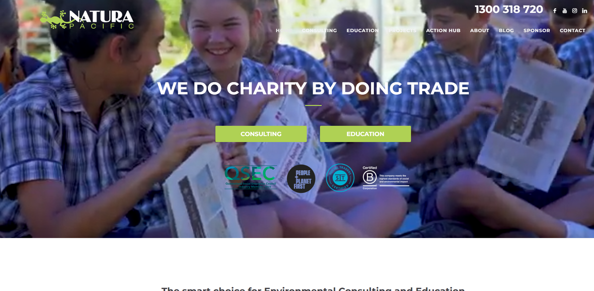
Natura Pacific is a social enterprise – essentially, charity by doing trade. Profits from its environmental consulting services are funneled to the Natura Pacific education team, which in turn subsidises the development and implementation of environmental education resources and outreach programs for schools and communities. This elegant approach means that every project not only addresses practical environmental needs but also directly supports educational efforts, creating a win‐win… scenario for both the environment and society. The initiative bridges rigorous technical work with genuine community benefit, making project steering highly efficient and truly impactful.
Main Benefit
- Social enterprise model: charity by doing trade
- State‐of‐the-art digital spatial data analyses and presentation
- Expert usage of advanced GIS software such as ESRI ArcGIS, QGIS, and AutoCAD
- Utilization of complex drone operations for high-resolution mapping
- A team composed of highly qualified ecologists and skilled fauna specialists
These key figures and facts emphasize how the project uniquely combines technical precision with social responsibility.
Digital Spatial Data Expertise
Natura Pacific has a strong focus on digital spatial data analyses and presentation – a crucial element that makes decision-making more informed and project steering highly efficient. The expert team makes use of advanced GIS software, including ESRI ArcGIS, QGIS, and AutoCAD, to offer comprehensive and spatially accurate mapping products. Imagine visual, easily-interpretable data paired with on-ground imagery and specialist spatial data all in high-quality detail… ensuring that every decision is backed by robust visual analysis. This dynamic approach not only enhances visual clarity but also provides practical insights for any environmental project.
Ecological and Vegetation Surveying
Natura Pacific offers the expertise of a team of highly qualified and experienced ecologists, known for their exemplary skills in vegetation survey, analysis, planning, and monitoring. Whatever the nature of a project, the team is prepared to undertake comprehensive and accurate vegetation assessments. This includes work on threatened species management, translocation and offsetting, ecological constraints analysis, and regional ecosystems as well as significant habitat assessment. Additionally, assessments and management of weeds and biosecurity issues are carried out with exceptional care. The process may seem intricate at times… but each step is designed to ensure the utmost precision and positive environmental outcomes.
Fauna Specialism and Assessments
A dedicated and experienced team of fauna specialists, holding all necessary regulatory permits, licenses, and certifications, supports the project through expertise in the identification, handling, and care of all native species – even managing challenges like venomous snakes. The project delivers in-depth site assessments and ground-based corroboration of mapped fauna constraints, utilising IR drone technology alongside specialist GIS and survey methodologies. This careful assessment is especially critical when dealing with cryptic species such as arboreal and nocturnal mammals, as well as migratory birds. The result is a reliable, detailed understanding of the fauna present, ensuring environmentally responsible actions are taken even under challenging field conditions.
Project Impact
- SDG 4: Quality Education – Supporting educational resources and outreach initiatives
- SDG 11: Sustainable Cities and Communities – Enhancing decision-making with accurate spatial data
- SDG 13: Climate Action – Promoting environmental sustainability through data-driven projects
- SDG 15: Life on Land – Conducting rigorous ecological surveys and habitat assessments
- SDG 17: Partnerships for the Goals – Integrating specialised technical expertise with community support
Community and Environmental Outreach
Natura Pacific’s innovative model goes beyond conventional environmental consulting by integrating digital spatial data analyses with ecological fieldwork. The project leverages advanced technology with human expertise – making complex drone operations and GIS mapping accessible for tangible environmental insights. Through meticulous vegetation surveys and dedicated fauna assessments, the project not only ensures accurate representations of on-ground realities but also actively contributes to environmental education and outreach activities. This holistic approach creates a synergy between modern technical methods and social antecedents, resulting in a project that is as dynamic as it is socially responsible. The natural flow of work, from technical mapping to community education, invites continuous improvements in environmental practices… all while nurturing a sustainable future for communities and ecosystems alike.

