What the Project Is
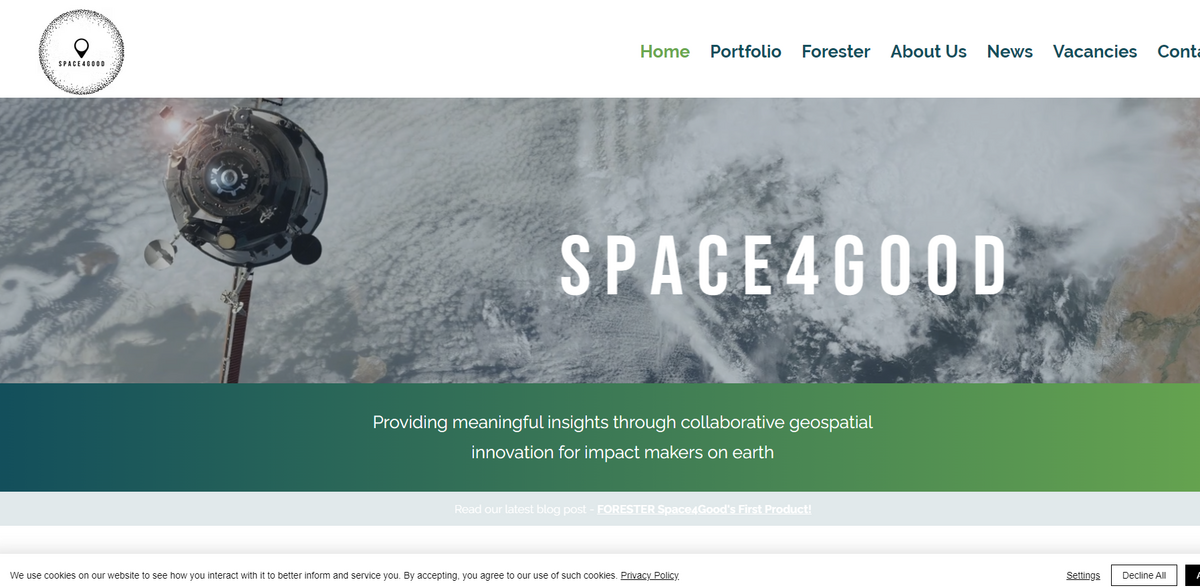
S P A C E 4 G O O D stands as a unique initiative in earth observation for social and environmental impact. Providing meaningful insights through collaborative geospatial innovation for impact makers on earth, this project leverages a range of applications to empower decision makers and field experts. From remote sensing data analysis to capacity building, the initiative uses cutting-edge data technologies to deliver real-world solutions for pressing global challenges… It brings together active and passive satellite products, drone imagery, and LiDAR data to ensure comprehensive insights into our changing world.
Main Benefit
The project offers several significant benefits by integrating advanced technology with real-time environmental data. Key figures and facts include:
- B Corp score: 104.8
- Industry: Software publishing and SaaS platforms
- Main technologies: Remote sensing, Geographic Information Systems (GIS), and artificial intelligence (AI)
- Core domains: Earth observation, monitoring reporting verification (MRV), deforestation, and illegal logging detection
- Key applications: Carbon markets, biomass assessments, agroforestry management, pest disease monitoring, and vegetation analysis
Remote Sensing Data Analysis & Geospatial Analytics
At the core of S P A C E 4 G O O D lies a robust service in remote sensing data analysis. The project provides a wide range of remote sensing datasets – including active and passive satellite products sourced from programs like the ESA Copernicus Programme, NASA, Planet, and more – complemented by drone imagery and LiDAR. These detailed resources empower practitioners to gain comprehensive insights into local and global contexts. Alongside this, geospatial analytics play a critical role in shaping the information through data collection, geo-data transformations, and spatial analyses using Geographic Information Systems (GIS) and artificial intelligence tools. It’s this blend that drives dynamic mapping, precise reporting, and thorough verification (MRV) in a very engaging, almost conversational partnership with the field.
Innovative Predictive & AI Modelling
Adding another layer of sophistication, the project dives into predictive and AI modelling. Through the creation of geo-data models using artificial intelligence, S P A C E 4 G O O D offers a window into understanding and predicting the interplay between spatial dynamics and system behaviours. This innovative process, built on iterative methodologies and design thinking, enables the identification of critical variables and helps forecast trends that impact environmental and socio-economic systems. The approach is refreshingly dynamic… and aims to refine decision-making by revealing patterns that might otherwise remain hidden.
Bespoke Development and Reporting Applications
The bespoke development service truly illustrates the project’s commitment to tailor-made solutions. Leveraging a collaborative approach, the initiative works closely with partners to define challenges and co-design new geospatial innovations. Besides nurturing the idea phase, the project also focuses on deploying these innovations in local field integration plans to meet unmet needs and emerging challenges. Reporting and applications are further enhanced by developing scalable APIs that serve as the backbone for both front-end and back-end platforms, as well as geo-portals designed for interactive mapping applications including crowdsourcing. Noteworthy applications include tools for illegal logging detection and prediction, biomass yield assessments for carbon market analysis, among other critical services.
Capacity Building and Collaborative Growth
Capacity building is an integral part of the initiative, ensuring that both experts and non-experts can harness the power of geospatial technologies. The project supports a range of educational and collaborative activities such as Mothership Missions, hackathons, and post-hackathon support processes, all aimed at strengthening data experts contributing to vulnerable landscapes and the United Nations Sustainable Development Goals (SDGs). Through lectures and workshops on GIS and earth observation (EO) data analytics, the project reinforces the technical capabilities of diverse audiences, placing a strong emphasis on open innovation and hands-on approaches.
Project Impact on Sustainable Development Goals
- SDG 13: Climate Action
- SDG 15: Life on Land
- SDG 9: Industry, Innovation, and Infrastructure
- SDG 11: Sustainable Cities and Communities
- SDG 17: Partnerships for the Goals
Future Horizons and Continued Innovation
Looking ahead, S P A C E 4 G O O D is poised to continue its journey as a pivotal force in earth observation for social and environmental impact. The ongoing work in remote sensing, geospatial analytics, and AI modelling ensures that the project remains at the forefront of innovative solutions for environmental monitoring and management. With its strong foundation in bespoke development and reporting applications, the initiative is perfectly equipped to address emerging challenges, adapt to new technologies, and refine practices in sustainability. Embracing a conversational, dynamic approach, S P A C E 4 G O O D demonstrates that cutting-edge technology, when combined with a clear vision for impact, can lead to meaningful change around the globe.

