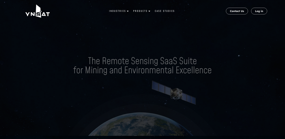
What is the Remote Sensing SaaS Suite for Mining and Environmental Excellence?
YNSAT’s approach is pretty straightforward: spot challenges that remote sensing data can solve. Then, figure out how—or if—clients are already using this tech. Finally, craft solutions that seriously boost their processes. If you’re curious about bringing remote sensing data into mining or environmental projects—whether from satellites, drones, or other sources—YNSAT has got your back. And if you’re in civil industries or eager to tap into AI’s power applied to remote sensing data, they’re ready to help out.
Main Benefits and Impressive Numbers
Let the numbers speak for themselves:
- Over 45,000,000 KM² processed by clients every single month.
- A whopping 66X efficiency gain compared to traditional methods.
- Operations spanning 13 countries—and still growing.
Supporting the Mining Industry at Every Stage
From the very start of geological explorations to the final mine closure and rehabilitation, YNSAT supports mining companies with remote sensing data management throughout the entire mine lifecycle. Whether it’s monitoring open pits or analyzing high-resolution or hyperspectral imagery, their expertise covers it all. Plus, if you’re flying your own drones or using satellites like Sentinel or ASTER, they can help you make the most of that data.
Introducing Remote Miner: The Platform Built for Mining
Remote Miner is YNSAT’s dedicated platform designed specifically for the mining industry. Its goal? To make it super easy for mining companies to harness remote sensing and analytics. No complicated setups or tech headaches—just straightforward, powerful tools that fit seamlessly into existing workflows. If managing remote sensing data feels like a hassle, Remote Miner flips the script, making the data work for you, not the other way around.
Why Remote Sensing Data Matters in Mining and Environment
Remote sensing data isn’t just fancy tech—it’s a game changer. It helps detect environmental changes, monitor mining impacts, and supports sustainable practices. With this data, companies can make smarter decisions, reduce risks, and improve operational efficiency. Plus, it opens doors to innovations like AI-driven analytics, which can uncover insights that were previously out of reach.
Project Impact on Sustainable Development Goals (SDGs)
- SDG 9: Industry, Innovation, and Infrastructure
- SDG 12: Responsible Consumption and Production
- SDG 13: Climate Action
- SDG 15: Life on Land
Expanding Horizons: Beyond Mining and Environment
While mining and environmental sectors are the core focus, the potential applications of YNSAT’s remote sensing solutions stretch further. Civil industries looking to leverage satellite or drone data, or those interested in integrating AI with remote sensing, can also benefit. The technology’s versatility means it’s ready to tackle challenges across various fields, driving efficiency and innovation wherever it’s applied.