Saltar al contenido
SDGs
Ampliar
SDG 1: No Poverty
SDG 2: Zero Hunger
SDG 3: Good Health and Well-being
SDG 4: Quality Education
SDG 5: Gender Equality
SDG 6: Clean Water and Sanitation
SDG 7: Affordable and Clean Energy
SDG 8: Decent Work and Economic Growth
SDG 9: Industry, Innovation, and Infrastructure
SDG 10: Reduced Inequalities
SDG 11: Sustainable Cities and Communities
SDG 12: Responsible Consumption and Production
SDG 13: Climate Action
SDG 14: Life Below Water
SDG 15: Life on Land
SDG 16: Peace, Justice, and Strong Institutions
SDG 17: Partnerships for the Goals
Categories
Ampliar
Sustainable Farming
Health & Well-being
Mobility & Transport
Construction & Infrastructure
Agriculture & Food
Waste & Recycling
Fashion
Energy
Communities
Finance
Technology
Services & Consultancy
Countries
Buscar
Facebook
Twitter
Instagram
Alternar el menú
GIS
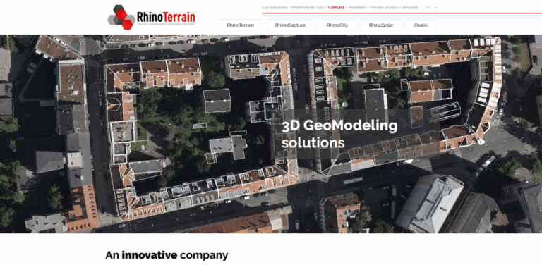
RhinoTerrain SAS: Advanced 3D Geo-Modeling Solutions for Diverse Industries
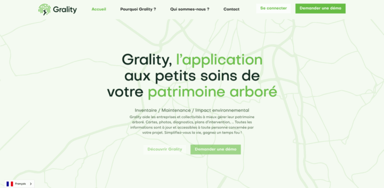
Grality: A Comprehensive Solution for Managing Arboreal Heritage
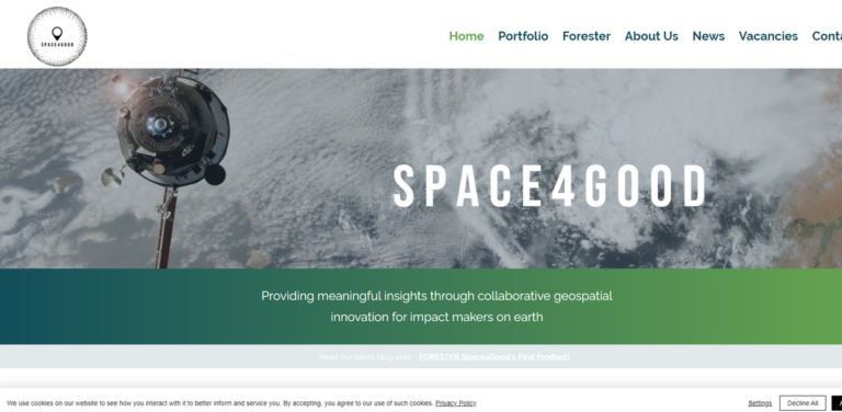
S P A C E 4 G O O D: Empowering Environmental Insights through Geospatial Innovation
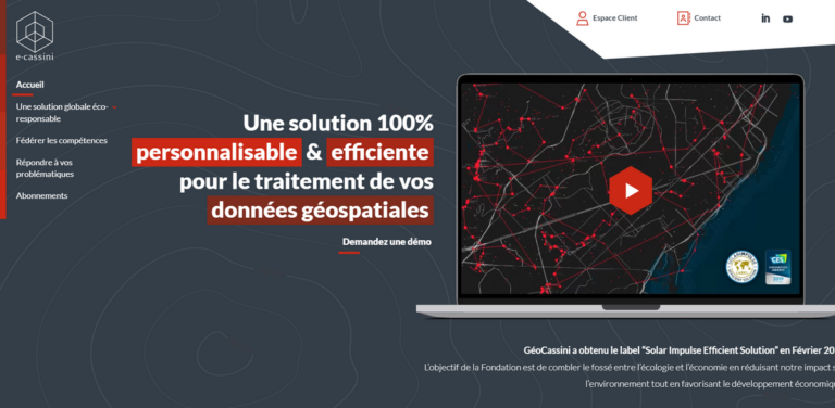
GéoCassini: Bridging Ecology and Economy in Geospatial Data Management
Scroll hacia arriba
Scroll hacia arriba
SDGs
Ampliar el menú hijo
Ampliar
SDG 1: No Poverty
SDG 2: Zero Hunger
SDG 3: Good Health and Well-being
SDG 4: Quality Education
SDG 5: Gender Equality
SDG 6: Clean Water and Sanitation
SDG 7: Affordable and Clean Energy
SDG 8: Decent Work and Economic Growth
SDG 9: Industry, Innovation, and Infrastructure
SDG 10: Reduced Inequalities
SDG 11: Sustainable Cities and Communities
SDG 12: Responsible Consumption and Production
SDG 13: Climate Action
SDG 14: Life Below Water
SDG 15: Life on Land
SDG 16: Peace, Justice, and Strong Institutions
SDG 17: Partnerships for the Goals
Categories
Ampliar el menú hijo
Ampliar
Sustainable Farming
Health & Well-being
Mobility & Transport
Construction & Infrastructure
Agriculture & Food
Waste & Recycling
Fashion
Energy
Communities
Finance
Technology
Services & Consultancy
Countries
Alternar cerrar menú
Buscar:
Buscar