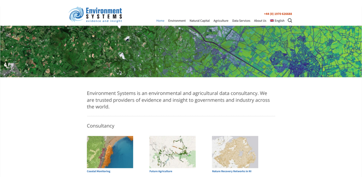
What Environment Systems Is All About
Environment Systems is an environmental and agricultural data consultancy trusted worldwide by governments and industry for delivering solid evidence and insightful analysis. Their work spans from coastal monitoring to land suitability modelling, providing critical data that helps shape decisions in natural capital, resilient landscapes, and climate services. They combine expertise in ecology, ecosystem services, and carbon management with cutting-edge data science, earth observation, GIS, satellite technology, and software solutions.
Main Benefits and Key Figures
Here’s a quick snapshot of what Environment Systems brings to the table:
- Coastal monitoring occurs every 5-8 years, with the latest focus on the South East coast, stretching from the Isle of Grain to Portland Bill.
- The SENCE land suitability modelling technology is actively guiding agricultural assessments in the Caribbean, supporting forest production enterprises.
- Northern Ireland ranks 12th worst globally for biodiversity loss, with 11% of vegetation species threatened; Environment Systems has helped create Nature Recovery Networks across the entire region.
- Over one million fields surveyed in the past year alone, covering more than 600 million km² when repeat visits are included.
- In 2019, a pilot project in Wales demonstrated the power of satellite remote sensing for grassland management and grass yield prediction, effective from single fields to whole continents.
Coastal Monitoring and Its Importance
Coastal monitoring is a cornerstone of Environment Systems’ consultancy work. By revisiting coastlines every 5 to 8 years, they ensure that changes are tracked effectively. This approach allows for the integration of new, improved processes and analyses to better understand coastal dynamics. The recent focus on the South East coast—from the Isle of Grain to Portland Bill—highlights their commitment to keeping a close eye on vulnerable shorelines, which are critical for both environmental health and human activity.
Innovative Land Suitability Modelling with SENCE
SENCE is a standout technology developed for land suitability modelling, proving invaluable for future agricultural assessments. Its application in the Caribbean, where it supports scientific evidence for land acquisition reconnaissance for forest production, showcases how technology and ecology come together. This tool helps stakeholders make informed decisions that balance economic goals with environmental sustainability, a key factor in resilient agriculture and natural capital management.
Addressing Biodiversity Loss in Northern Ireland
Biodiversity loss is a pressing global issue, and Northern Ireland is among the regions most affected, ranking 12th worst worldwide. With 11% of vegetation species at risk, Environment Systems has played a pivotal role in creating Nature Recovery Networks across Northern Ireland. These networks aim to restore habitats and reduce fragmentation, tackling one of the main drivers of biodiversity decline. This work is crucial for maintaining ecosystem services and supporting resilient landscapes.
Project Impact and Sustainable Development Goals (SDGs)
- SDG 13: Climate Action – through climate services and nature-based solutions.
- SDG 15: Life on Land – by addressing habitat loss and promoting biodiversity recovery.
- SDG 2: Zero Hunger – supporting resilient agriculture and sustainable land use.
- SDG 6: Clean Water and Sanitation – via groundwater modelling and irrigation assessments.
- SDG 11: Sustainable Cities and Communities – through coastal monitoring and flood risk management.
Data Services Tackling Wildfires and Water Scarcity
Wildfires threaten savanna ecosystems worldwide, worsened by climate change and illegal activities. Mapping wildfire extents is vital for organizing mitigation efforts, and Environment Systems is at the forefront of this work. Additionally, water scarcity challenges agriculture in places like Yemen, where irrigation methods and intensity have been mapped and assessed. This supports groundwater modelling to identify threats and plan interventions, ensuring water resources are managed sustainably in vulnerable regions.