What Is Atla.ai All About?
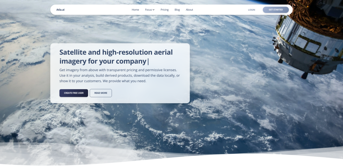
Atla.ai is all about bringing satellite and high-resolution aerial imagery right to your fingertips. Imagine having access to detailed images from above, whether captured by planes flying close to the ground or satellites orbiting the Earth. It’s designed to be straightforward — transparent pricing, permissive licenses, and easy setup mean you can jump right in and start using the data for your own analysis, build new products, or even share it directly with your customers. No fuss, no hidden strings attached.
The Main Benefit: Easy Access to Massive Imagery Data
Here’s what makes Atla.ai stand out:
- More than 20 million GB of aerial and satellite imagery available instantly.
- Coverage includes high-resolution aerial imagery for many countries, plus satellite imagery for the rest of the globe.
- Simple APIs that work seamlessly with popular desktop applications and software libraries.
- Permissive licenses that let you download data locally and share it with your customers without restrictions.
- Analytics APIs to add value or build your own custom analytics on top of the data.
Satellite vs. Aerial Data: What’s the Difference?
So, what’s the deal with satellite and aerial imagery? Well, aerial data is captured from airplanes flying relatively close to the ground, which means the images are super high resolution — think crisp and detailed. On the other hand, satellite data comes from satellites orbiting the Earth, so while the resolution is generally lower, the data gets updated way more often. It’s like having a trade-off between detail and frequency of updates. Both have their perks, depending on what you need.
How Does the Tile System Work?
When you’re browsing maps, you might notice small squares loading up — those are called “tiles.” With Atla.ai’s business package, you get 500,000 tiles per month. That’s usually enough for most use cases, unless your service is super popular with tons of external users. If you need more, additional tiles are billed per 1,000 tiles. It’s a flexible system that scales with your needs.
Downloading Data Locally: Easy and Flexible
Want to keep the data on your own servers? No problem. Atla.ai makes it easy to download and store imagery locally. The recommended tool is the Contextily Python package, which supports downloading images directly from Atla.ai’s APIs. You can save images in standard formats like JPEG or PNG, or go for geo-referenced images in GeoTIFF format if you need precise geographic data. It’s all about giving you the freedom to work the way you want.
Project Impact: Supporting Sustainable Development Goals
- SDG 9: Industry, Innovation, and Infrastructure — by enabling new products and services based on earth observation data.
- SDG 11: Sustainable Cities and Communities — through detailed imagery that supports urban planning and management.
- SDG 13: Climate Action — by providing data that helps monitor environmental changes and supports climate resilience.
- SDG 15: Life on Land — assisting in monitoring forests, agriculture, and natural habitats.
Looking Ahead: Expanding Coverage and Capabilities
Atla.ai isn’t stopping anytime soon. Adding aerial data from more countries is a high priority, and the team is actively working on expanding coverage. This means even more detailed imagery will be available to users worldwide, opening up new possibilities for analysis and product development. The future looks bright for anyone who relies on earth observation data.