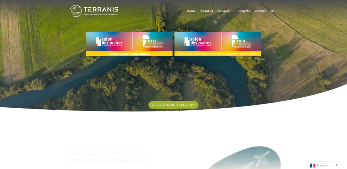
About TerraNIS and Its Project Offerings
TerraNIS – Satellite images for sustainable development – stands out with its decision support services designed to accompany the ecological transition and adaptation of territories to climate change. For 10 years, TerraNIS has been developing innovative tools derived from Earth Observation to address challenges in agriculture, precision viticulture, environmental monitoring, and land management. With a multi-disciplinary and passionate team that designs and develops products day by day, TerraNIS uses spatial data expertise to support agroecological transition in agriculture and enhance the resilience of cities and territories in the face of climate challenges… This commitment is reflected in every tool and service offered to local authorities and agricultural stakeholders.
Main Benefits and Key Figures
- Precision Agriculture: Irrigation management, monitoring of crop development, and cover crop valuation.
- Precision Viticulture: Harvest optimization, reduction of inputs, detection of water stress, and monitoring of plantings.
- Urban Territories: Mapping of urban green networks, ensuring citizen comfort, and identifying heat islands.
- Forests: Characterization of tree species, detection of burned forest areas, and monitoring of regeneration.
Case Studies and Use Cases
The range of practical applications showcases the versatility of TerraNIS services. Among the compelling use cases, one project involved mapping hedges, groves, and isolated trees across the entire Champagne Appellation – approximately 34,000 hectares. This initiative, commissioned by the Champagne Interprofessional Committee (CIVC), used both a thresholding method and an artificial intelligence approach to assess the biodiversity levels in the vineyard and study the continuity of ecological corridors. Another notable project includes the production of Oenoview® maps for Moët & Chandon, which operates nearly 1,200 hectares of vines and employs these maps to optimize fertilization and harvests, reducing unnecessary inputs while promoting sustainable viticulture. Further examples include identifying urban heat islands in Montpellier as part of the European Valorada project and mapping the canopy and green roofs of the city of Paris in collaboration with local authorities and CNES. Moreover, TerraNIS supported Val-de-Marne’s ambitious “Plan 50,000 Trees” by providing an initial mapping of tree cover, enabling ongoing monitoring as the project evolves, and also implemented an innovative method to monitor vegetation on Majorca for the Iberostar Group’s hotels.
Precision Applications in Agriculture and Viticulture
TerraNIS leverages Earth observation to offer precision tools in agriculture and viticulture. In agriculture, this means deploying advanced services like irrigation management and crop development monitoring – critical for optimizing the use of natural resources at a time when every drop and every nutrient counts. In the realm of viticulture, the focus shifts to harvest optimization and water stress detection, providing winemakers with the insights necessary to refine practices and maintain a sustainable approach. These precision applications not only support precise input management but also contribute significantly to the long-term resilience of both production and natural landscapes… It is a truly dynamic approach that brings digital transformation to the field.
Supporting Ecological and Territorial Transitions
The mission behind TerraNIS is clear: offer decision support tools and services that enable local authorities, cooperatives, winegrowers, and various stakeholders to optimize natural resource usage and prepare for future climate challenges. By mapping and monitoring green spaces, urban heat islands, and tree canopies, TerraNIS helps shape policies and practices that promote sustainable urban and rural development. The approach is both scientific and practical, turning satellite imagery into actionable insights that influence ecological transitions and protect the quality of life in cities and territories…
Innovative Mapping Solutions for Diverse Sectors
TerraNIS designs and operates a range of mapping solutions, derived from Earth observation, to serve various sectors connected to the living world. This includes precision agriculture and viticulture projects that optimize inputs and improve yield outcomes, as well as territorial projects that assess and enhance citizen comfort through the mapping of green infrastructures. In forest management, TerraNIS offers the capability to identify tree species, detect damaged areas, and track forest regeneration. Such detailed and tailor-made mapping solutions ensure that every service is adapted to the specific needs of its users, making it easier to evaluate and manage the environment efficiently.
Project Impact on Sustainable Development Goals
- Climate Action (SDG 13): By providing tools to evaluate and counteract climate change impacts, TerraNIS contributes to adaptation strategies in urban and agricultural settings.
- Sustainable Cities and Communities (SDG 11): Mapping urban green networks and heat islands supports the development of healthier, more resilient urban environments.
- Life on Land (SDG 15): Monitoring biodiversity in vineyards and mapping forest regeneration assist in the conservation of key ecological zones.
- Zero Hunger (SDG 2): Precision agriculture services enhance food production efficiency while preserving natural resources.
Future Directions and Global Ambitions
The ambitions of TerraNIS extend well into the future… The commitment remains to empower agricultural stakeholders and local authorities with the insights needed for informed decision-making. Whether it is through sustainable viticulture approaches like the celebrated Oenoview® maps or by providing comprehensive assessments of urban heat islands, TerraNIS continues to drive innovation in Earth observation services. These efforts not only bolster productivity and environmental stewardship but also pave the way for broader changes in policy and practice. As projects evolve and new challenges arise, TerraNIS is set to expand its scope while maintaining a rigorous, data-driven approach that underscores the importance of sustainable development. The ongoing work stands as a testament to the power of merging technology with ecological responsibility, marking a significant step toward building resilient communities and safeguarding natural ecosystems for future generations.